A New Era for Everyday Navigation in the Philippines
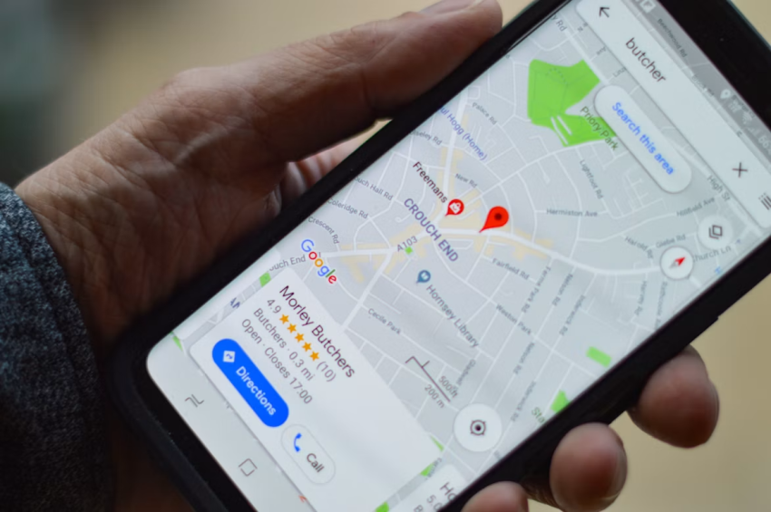
For millions of Filipinos, Google Maps has become much more than a simple digital map. It is part of everyday life, helping people find their way through crowded city streets, locate restaurants, estimate travel times, discover unfamiliar neighborhoods, and plan trips across the country.
Now, Google Maps is becoming more conversational and context-aware in the Philippines. Its latest AI-powered feature, Ask Maps, is attracting attention because users can interact with Maps using natural language instead of relying only on traditional keyword searches. The feature has become widely available in the Philippines, according to local technology coverage published in September 2026.
This change is particularly interesting in a country where traffic, weather, road conditions, and transportation choices can dramatically affect a journey. A route that looks perfect on a map in the morning may become much slower after heavy rain or an unexpected road closure.
For Filipino smartphone users, the development represents a broader shift. Navigation apps are increasingly becoming intelligent travel assistants rather than simple tools for showing directions.
Why Smarter Maps Matter in Philippine Cities
Navigation challenges in the Philippines are closely connected to everyday urban life. Metro Manila, for example, has busy roads, dense commercial districts, residential communities, bridges, highways, and constantly changing traffic conditions.
For commuters, saving even a few minutes can make a meaningful difference. Someone traveling to work may need to decide whether to take a major highway, use a smaller local road, take public transportation, or delay the trip because of weather.
Ask Maps is designed to make this kind of interaction more natural. Instead of searching separately for a destination and then checking several different sources for information, users can ask a question in ordinary language.
A traveler might want to know whether a particular road is currently affected by flooding. Another person might want to find a restaurant that is easy to reach without walking too far in heavy rain. According to YugaTech, Ask Maps can summarize information such as road closures and live delay alerts and can provide recommendations based on a user’s situation.
That makes the technology especially relevant to daily Philippine commuting.
Rainy Weather Makes Real-Time Navigation More Valuable
Weather is one of the biggest reasons navigation conditions can change quickly in the Philippines.
Heavy rain can affect traffic flow, road visibility, and travel times. Certain streets may become difficult to pass, while alternative routes can suddenly become more attractive. For pedestrians and motorcycle riders, weather conditions can be just as important as traffic.
This is where real-time mapping information becomes valuable.
Instead of simply asking Google Maps for directions from Point A to Point B, users can increasingly ask questions based on the situation around them. For example, they might want to know whether there is a nearby place to wait out a storm or whether a route is experiencing significant delays.
Google’s new approach is designed around this kind of conversational interaction. Google says Ask Maps can answer complex questions about real-world places and provide personalized recommendations based on information available through Maps.
For Filipino users, this could make navigation feel less like operating a traditional map and more like having a digital travel assistant.
Motorcycles and Mobile Navigation
Motorcycles are an important part of transportation in the Philippines, particularly for people who need flexibility in congested urban areas.
Navigation requirements for motorcycle riders can differ from those of drivers. A route that works well for a car may not always be the most practical option for a motorcycle. Road width, traffic patterns, turns, surface conditions, and local restrictions can all influence the journey.
This is also part of a wider trend in navigation technology. Waze, another Google-owned navigation platform, introduced a motorcycle mode that is rolling out in the Philippines and several other countries. The feature is designed to provide routing that is more appropriate for two-wheeled travel.
The development shows how navigation technology is becoming more specialized. Instead of assuming that every traveler has the same requirements, mapping services are increasingly adapting to different transportation methods.
For Filipino consumers who use smartphones as their primary navigation device, these changes could make location technology more useful during everyday travel.
Smartphones Are Becoming Navigation Hubs
The growth of smarter navigation also highlights how important smartphones have become in the Philippines.
A modern smartphone can function as a map, communication device, camera, payment tool, entertainment system, and travel assistant. For commuters, navigation is often one of the functions used repeatedly throughout the day.
That creates a new expectation for smartphone hardware. Users want bright displays that remain readable outdoors, reliable GPS positioning, fast mobile connectivity, responsive processors, and batteries that can handle extended navigation.
Battery life becomes especially important when navigation is used continuously. GPS, mobile data, screen brightness, and location services can all contribute to battery consumption. Someone taking a long trip may therefore pay closer attention to their GPS battery performance and overall smartphone endurance.
For people who rely on navigation every day, battery capacity is not simply a specification on a product box. It can influence how confidently they use location services throughout the day.
What Ask Maps Could Mean for Travelers
The most interesting aspect of Ask Maps is not simply that it uses artificial intelligence. It is that the technology changes how people interact with geographic information.
Traditional navigation often requires users to know exactly what they want to search for. They might type a restaurant name, select a destination, and then request directions.
Conversational navigation works differently.
A user can describe a situation rather than provide a simple destination. This creates opportunities for more flexible trip planning.
Imagine a visitor exploring Manila who wants to have dinner but also wants to avoid a long walk because of heavy rain. Instead of searching for restaurants first and checking walking routes afterward, the user can ask for places that match several conditions.
Similarly, someone planning a weekend drive may want to find scenic stops, restaurants, charging locations, or attractions along the route.
Google’s description of Ask Maps emphasizes this ability to combine questions, recommendations, map information, and route planning within a conversational experience.
Better Navigation Does Not Mean Perfect Navigation
Despite the excitement surrounding AI-powered Maps, users should still treat automatically generated information carefully.
Road conditions can change rapidly. Flooding, accidents, construction, traffic restrictions, weather events, and temporary closures may develop faster than any digital service can reflect.
YugaTech specifically notes that AI-generated summaries should not replace official advisories during fast-changing situations.
This is particularly important during severe weather.
If government agencies, local authorities, transportation operators, or emergency services issue an official warning, that information should remain the primary reference. Google Maps can complement those sources by helping users understand possible routes and nearby locations.
The same principle applies to unfamiliar roads. A suggested route may be technically possible but not necessarily the most appropriate option for every traveler.
Battery Life Still Matters in the AI Navigation Era
As navigation becomes more sophisticated, smartphones may be asked to do more at the same time.
A commuter could have Google Maps running while listening to music, receiving messages, using a ride-hailing application, and communicating through social media. During a long trip, these activities can place additional demands on the phone.
This is why battery performance remains an important part of the navigation experience.
For dedicated navigation equipment and location-based devices, a dependable GPS battery can also be important when users need tracking capabilities for long periods. Whether the device is used for travel, outdoor activities, logistics, or personal navigation, uninterrupted power helps ensure that location information remains available when it is needed.
The same concept applies to smartphones. A powerful navigation system is only useful if the device has enough power to keep it running.
A More Connected Philippine Travel Experience
The evolution of Google Maps is part of a larger movement toward connected travel.
Filipino consumers are increasingly using smartphones to manage different parts of their daily routines. A single device can help someone order transportation, pay for services, communicate with friends, check weather conditions, find a destination, and share their location.
Navigation sits at the center of many of these activities.
A person may start with Google Maps to find a destination, open a ride-hailing service to arrange transportation, use a digital wallet to pay, and then return to Maps for the journey home.
As these services become increasingly interconnected, consumers may expect their devices to work reliably throughout the entire process.
That expectation will influence not only software development but also smartphone hardware. Longer battery life, better displays, stronger connectivity, and improved location technology are likely to remain important selling points.
What Filipino Smartphone Users Can Expect Next
The expansion of AI-powered Maps in the Philippines suggests that navigation technology is moving toward a more personalized experience.
Instead of simply telling users where to turn, future mapping services may increasingly help them decide how to organize a journey around weather, traffic, preferences, available time, and nearby places.
For a country with large metropolitan areas, busy transportation networks, frequent weather changes, and millions of smartphone users, this evolution has practical significance.
It could also encourage more consumers to think about the complete navigation experience when purchasing technology. A phone with reliable positioning, fast connectivity, a comfortable display, and strong battery endurance can become a much more useful travel companion.
For users who depend on dedicated location devices, choosing a dependable GPS battery can similarly help support longer periods of tracking and navigation.
The Road Ahead for Smart Navigation
Google Maps is moving beyond the idea of being a digital road atlas. With Ask Maps and other AI-powered improvements, the platform is becoming more conversational and responsive to real-world situations.
In the Philippines, that transformation is particularly relevant because navigation is rarely just about distance. Traffic, rain, road conditions, transportation methods, and local destinations can all change what makes a route practical.
The arrival of Ask Maps gives Filipino users another way to interact with that complexity. Instead of searching for information piece by piece, they can increasingly describe what they need and receive a response built around the situation.
The technology is still evolving, and users should continue checking official information when conditions change quickly. But the direction is clear: navigation is becoming more intelligent, more conversational, and more deeply connected to everyday smartphone use.
As this trend continues, battery endurance will remain an important part of the experience. Whether someone is commuting across Metro Manila, exploring a new city, traveling between provinces, or relying on a dedicated tracking device, having dependable power can make the difference between staying connected and losing access to essential navigation tools.
In the Philippines, where the journey can change as quickly as the weather or traffic, smarter maps may be only the beginning of a much more connected travel experience.